
There are hikes that concentrate everything charming about Upper Provence in a few kilometers. The Baisse de Courchon hike, starting from Moustiers-Sainte-Marie, is one of them. Short yet rich, this 6.5 km loop with 330 meters elevation gain takes you from the heart of one of France's Most Beautiful Villages to a fine viewpoint over Lake Sainte-Croix.
On the agenda: a thousand-year-old chapel perched between two cliffs, a forgotten troglodyte grotto, a wild ravine with canyon-like character, a panoramic col at 920 m, and a return via an ancient Roman Road steeped in history. All within 25 minutes of Villa OVerdon. It's the ideal hike for those staying in the Gorges du Verdon area who want to combine heritage, nature and panoramas without devoting the whole day.

Hike technical details
Sommaire de l'article
Here are the essential facts to prepare your outing. A short but rich loop, with a wild passage that gives it an adventurous character.
📍 Start / Finish — Cemetery and Ste-Anne Chapel parking, Moustiers (650 m)
GPS: 43.8456° N, 6.2223° E
🚶 Distance — 6.5 km (loop)
⬆️ Elevation gain — ~330 m
⛰️ Min / max altitude — 650 m / 921 m (Baisse de Courchon)
⏱️ Duration — 2h30 to 3h (including breaks)
🟠 Difficulty — Moderate — Steep passage in Ravin de Notre-Dame (hands needed in places)
🚩 Markings — Yellow throughout, except the Ravine (unmarked since 2018)
🗺️ IGN Map — 3442 OT — Gorges du Verdon, Moustiers-Sainte-Marie
📖 Sources — AllTrails trace "Ravin de Notre-Dame: Roman Way" + guide altituderando.com (Stef04)
GPX Trace — Interactive map of the route
Trace recorded during our hike. Download the GPX file for your watch or hiking GPS.
Stage 1 — Departure from Moustiers-Sainte-Marie
The start is from the cemetery and Sainte-Anne Chapel parking, at the top of the village (GPS: 43.8456, 6.2223). It's the most practical parking for this loop — free and rarely crowded, even in peak season.
Road access: from Aiguines or the Gorges du Verdon, follow the D952 to Moustiers-Sainte-Marie. Upon arriving at the village, skip the first roundabout and enter at the second. Head toward the top of the village toward the cemetery.
Before starting, take time to stroll through the village. The rushing stream that tumbles between stone houses and cascades between cliffs already gives a nice preview of what awaits you at altitude.

The climb to Notre-Dame-de-Beauvoir
From the parking, take the paved trail heading north toward the chapel. Stone steps, worn by centuries of pilgrimage, climb between cypress and limestone rocks. The view gradually opens onto Moustiers' ochre tile roofs, the verdant Verdon plain and, in the distance, the blue line of Lake Sainte-Croix.

Optional — Sainte-Madeleine Grotto and Notre-Dame-de-Beauvoir Chapel
The climb toward the ravine passes right by two sites worth detouring for. They're not on the main loop route, but the detour is so short that it would be a shame to miss, especially on your first visit to Moustiers.
🔮 Detour to Sainte-Madeleine Grotto (5 min round-trip)
Just before reaching the chapel, a fork goes left to the Sainte-Madeleine Grotto. This small troglodyte sanctuary, carved into the cliff, is an ancient place of devotion witnessing prehistoric occupation of the site. The atmosphere is striking — cool and silent, with raw rock above your head. The round-trip takes barely 5 minutes.
⛪ Notre-Dame-de-Beauvoir Chapel
Back on the main trail, you're just steps from Notre-Dame-de-Beauvoir Chapel, Moustiers' emblem. Nestled between two high cliffs, this 12th-century chapel (reworked in the 16th) clings to the rock like a sentinel. This is where the famous Moustiers star, suspended by a 227-meter chain between the two peaks, takes on its true meaning.
The panorama from the terrace embraces the whole village, the verdant valley, and on clear days Lake Sainte-Croix at the horizon. It's one of the finest viewpoints of the Verdon.
💡 If you already know the chapel, you can skip the detour — the main trail leads directly to Ravin de Notre-Dame without it.


⭐ Did you know? The Moustiers star — The golden star suspended 227 m above the ravine is said to have been offered by knight Blacas upon return from crusade in the 13th century, in thanks to the Virgin. Today classified as a Historic Monument, it weighs about 1.25 kg. It watches over hikers venturing into the ravine below.
Stage 3 — Ravin de Notre-Dame: the hike's wild heart
Finding the ravine start — the key point
This is where the route becomes adventurous, and where many hesitate. From the chapel, you easily spot the paved path descending left toward the village — that's the classic return trail. But to enter the ravine, you must instead descend right into the rocks.
The start isn't obvious: you leave stone stairs for rocky terrain with no apparent markings. Since 2018, a sign even highlights the difficulty. Don't panic: after crossing the ravine bottom and climbing a few meters on the left bank through the first rocky blocks, you quickly find a well-visible trace on the right that climbs regularly toward the col.

A steep passage but no real technical difficulty
The ravine then reveals itself in all its raw beauty. You enter a mineral world: stacked limestone blocks, rocky needles pointing skyward, vegetation clinging to walls. It's an almost dolomitic landscape in the heart of Provence.
As the altituderando guide describes it: you must "cross the ravine and climb it on the left bank via a somewhat steep trail but without real difficulty". That's accurate: the passage requires occasional hand placement and choosing your way through rocks, but nothing truly technical for an experienced hiker.
⚠️ Warning: the Ravine trail is unmarked and unmaintained since 2018. It's discouraged with young children and should be avoided during frost or after heavy rain.


Fine views while climbing the ravine
As you climb, perspectives constantly change. You turn back to see cliffs frame the village below, poppies dot red on grassy slopes in spring, and the perched chapel shrink in its rocky setting as you ascend. Vultures nesting in the Verdon cliffs occasionally circle above the ravine.

Stage 4 — Baisse de Courchon (920 m): the Lake Sainte-Croix viewpoint
The climb to the col via Chemin de Courchon
Leaving the ravine, the trail joins a fine southeast-facing path leading to Baisse de Courchon (920 m). The landscape changes radically: from bare rock to an environment of garrigue and limestone heathland, typical of Upper Provence plateaus.

The panorama from Baisse de Courchon
Then, suddenly, the landscape opens. At 920 meters altitude, Baisse de Courchon is a vast limestone plateau swept by wind, carpeted with thyme, wild lavender and stunted boxwood. It's one of those places where you want to set your pack down and linger.
The view is wide and open: facing you, Lake Sainte-Croix spreads its turquoise waters among wooded hills. You can make out Sainte-Croix bridge, the lake's beaches, and beyond, the Digne Pre-Alps chain cutting the horizon. To the right, the Verdon valley sinks into the gorges. To the left, limestone ridges plunge toward Moustiers, nestled below in its cliff amphitheater.
This plateau is a hunting ground for raptors. It's not rare to see griffon vultures circling above the crests, using thermals rising along the cliffs. The silence, the wind, the Provençal light — everything here invites you to take your time.
It's the perfect spot for a picnic. A few flat rocks offer natural seats facing the lake. You understand why this viewpoint counts among the finest views of the Gorges du Verdon.


Stage 5 — Return via Chemin de Courchon and the Roman Road
From Baisse de Courchon, head right toward Chemin de Courchon — Moustiers. You initially climb a wide trail before switching to the Roman Road that descends in switchbacks toward the village.
This ancient road, carved into limestone and worn by two millennia of passage, offers a pleasant descent through garrigue. You imagine the merchants, pilgrims and legionaries who used this same path to connect valley villages. The route is still well-preserved in places, with smooth stone slabs and stone retaining walls.
Warning: this Roman Road is not the one you see near the chapel below — it descends much further west and arrives directly near the cemetery and parking of departure, perfectly closing the loop.

This is where you cross a Municipal information sign presenting the Chemin de Courchon, classified as "Discovery Hiking." You learn that this trail crosses a remarkable natural environment, home to wild mountain orchids (ophrys, orchis) and endangered bird species nesting in the surrounding cliffs and heathland. Fragile heritage that deserves staying on the paths.


Practical tips
When to go?
The hike is doable almost year-round. Best periods are spring (April-June) for poppies, wild orchids and mild temperatures, and fall (September-October) for colors and solitude. In summer, start early — the ravine is exposed and there's no water on the route. In winter, the ravine passage may be icy and dangerous. Check our Verdon shoulder season guide to enjoy the area outside crowds.
Recommended gear
Good hiking boots (high-top recommended) are essential for the rocky ravine passage. Plan minimum 1L water per person (no water source on the route), a cap, sunscreen. Hiking poles will help on the Roman Road descent.
Access from Villa OVerdon (Aiguines)
From Aiguines, allow approximately 25 minutes driving via the D957 then D952 following Lake Sainte-Croix. The drive itself is already a spectacle. It's one of the most accessible and rewarding hikes from our villa.
Variations
- 🥾 Short variant — Round-trip to Notre-Dame-de-Beauvoir Chapel with Sainte-Madeleine Grotto detour (~1h, easy). Ideal with young children.
- ⛰️ Long variant — Continue beyond Baisse de Courchon toward Montagne de Vénascle summit for even wider panoramas.
- 🗺️ Other Verdon hikes — Also discover Blanc-Martel Trail, Plein Voir Viewpoints and Baudinard Gorges.
Frequently asked questions
Is the hike suitable for children?
The Ravin de Notre-Dame passage is steep and discouraged for young children. However, the climb to the Chapel with the Sainte-Madeleine Grotto detour (round-trip ~1h) is accessible from age 6-7.
Do you need special gear for the ravine?
No climbing gear needed. The altituderando guide describes the trail as "somewhat steep but without real difficulty." Good hiking boots suffice, but you occasionally need to place your hands.
Where do you park in Moustiers-Sainte-Marie?
The cemetery / Sainte-Anne Chapel parking, at the village top, is free and most practical. In summer, arrive early. GPS: 43.8456° N, 6.2223° E.
Can you combine this hike with visiting Moustiers?
Absolutely! Moustiers is a Most Beautiful Village deserving at least 1h after the hike: potteries, fountains, medieval alleys. Plan the half-day.
What other activities are nearby?
The area is full of possibilities: kayak, pedal boat, lake swimming, other hikes, or the Ridge Road.
What to remember
- 6.5 km loop / 330 m elevation / 2h30 to 3h from cemetery parking in Moustiers
- Recommended detour to Sainte-Madeleine Grotto (5 min) before the chapel
- Ravin de Notre-Dame — steep but not technical, unmarked since 2018
- Notre-Dame-de-Beauvoir Chapel between two cliffs — star suspended 227 m
- Clear view of Lake Sainte-Croix from Baisse de Courchon (921 m)
- Return via 2,000-year-old Roman Road — gentle descent to cemetery
- Courchon Path classified Discovery Hike: wild orchids and endangered birds
- Ideal in spring (poppies, orchids) or fall (calm and colors)
Plan your hike
This 6.5 km loop combines heritage, adventure, and panoramic views in just 2.5 to 3 hours. Perfect as a half-day excursion near Villa OVerdon in Aiguines. Bring water, good boots, and plan for spring or fall for the best experience.
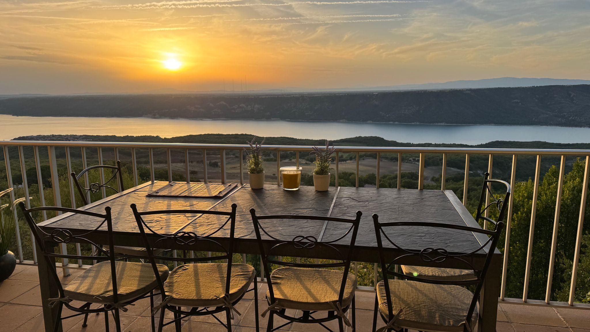
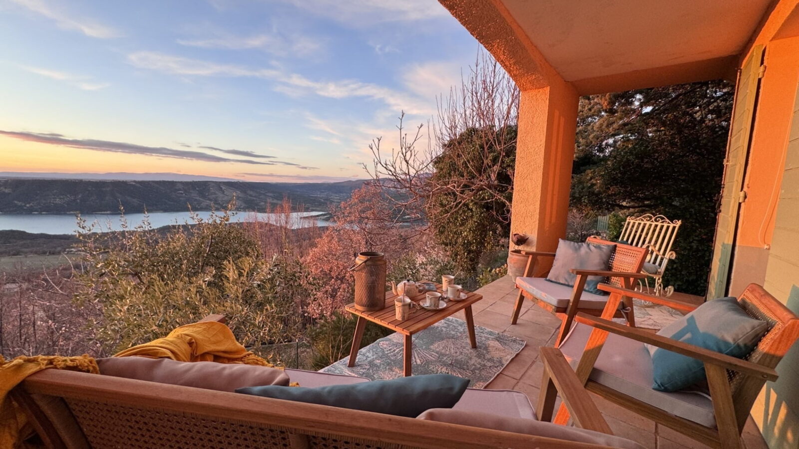
Charming house (6 pers., 3 bedrooms, ground floor, 110m² with spacious living area) with panoramic view of Lake Sainte-Croix. Quiet, 2 min walk from the village centre. Preserved nature & ideal base for outdoor activities and tourism.